There are many benefits to offering drone survey services. It will allow us to provide greater versatility for our Surveying & Mapping Services and give us more ways to collect highly accurate data for preparing reports, analyses and mapping. It will also allow us to improve speed, efficiency, and safety of assessments while enhancing customer experience. In addition, it will also expend our client base to include new markets that can benefit from UAV land surveying services.
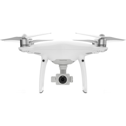
Introducing our UAV Drone – The DJI Phantom 4 Pro
The photo below is of our new UAV – the DJI Phantom 4 Pro. It offers the following features.
- 1-inch, 24mm, 20 MP sensor on board
- Brand new camera lens optimized for aerial imaging
- 5 direction anti-collision sensors that prevent the UAV from flying into buildings, trees and other obstructions
- 30 minute average flight time
UAV Surveying and Drone Mapping Services
A few UAV Surveying services that we will offer include but are not limited to:
- Topographic Mapping & Photogrammetry
- Route Surveys
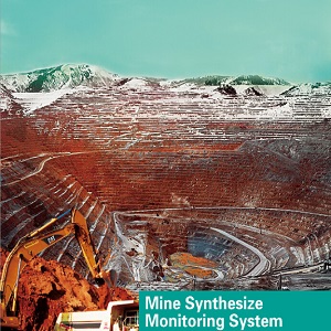
- Quarries & Mining Operations – volume computations
- Canal inspections
- Environmental, industrial & utility inspections
- Accident scene documentation/reconstruction
- Ice/open water monitoring
- Wildlife Monitoring
- Pollution Monitoring
- Surveying and mapping in dangerous environments including hazardous waste sites
- Agricultural crop monitoring and inspection
Contact Bandwork for Professional UAV Surveying Services
UAV land surveying is completely revolutionizing the surveying industry. UAV drone systems can capture unprecedented high-resolution aerial photography and assist with various inspections including route surveys, topographic maps, canal inspections with detailed accuracy data for your land surveying and mapping projects.