Leica Geosystems and Swissdrones – working together for Innovation and Safety
Leica Geosystems, the leading provider of airborne mapping solutions, is collaborating with Swissdrones, a UAV manufacturer, to explore new UAV-based solutions that will meet the exacting requirements of the professional mapping market. Of particular focus are solutions that can be operated safely in often harsh environmental conditions. Swissdrones, which is based in the St Galler Rheintal, Switzerland, brings outstanding expertise in engineering, manufacturing, deploying and operating UAVs for earth observation, directly complementing Leica Geosystems industry- leading mapping technology.
The Leica RCD30 for UAV – high accuracy mapping from UAV-based platforms
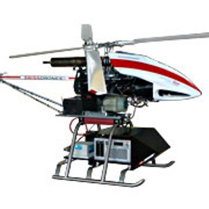
As a first, the Leica RCD30 medium format camera has been integrated into the Swissdrones Waran TC-1235 UAV. The Leica RCD30 is the world’s first medium format camera to provide superior multispectral imagery and highest accuracy. Its unique photogrammetric design features make the Leica RCD30 the preferred choice as a standalone or oblique mapping solution, for integration with a LiDAR sensor and for operation onboard an unmanned aerial vehicle (UAV). The Swissdrones Waran’s equally unique design features provide superior payload capacity, prolonged endurance, stable flight patterns and a high degree of safety features.