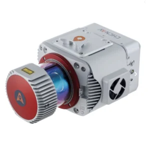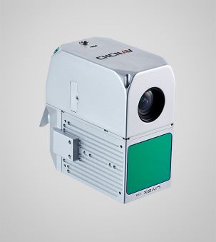
LIVOX AVIA Scanner
Long-range scanning up to 450m.
26 MP Camera
High-resolution imaging.
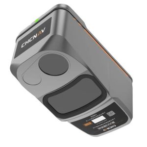
GNSS + IMU
High-precision inertial navigation.
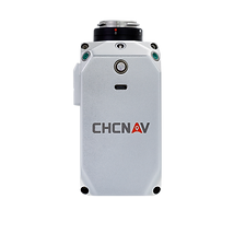
Skyport Interface
Easy integration with DJI and other UAVs.
High-Precision Data
Achieve high-precision data with the integrated LIVOX AVIA laser scanner and 26 MP industrial camera. Obtain detailed and reliable geospatial data for various applications, from topographic mapping to emergency response.
Long-Range Scanning
Utilize long-range scanning capabilities up to 450 meters with high point density. Enhance productivity by covering extensive areas quickly and accurately in a single UAV flight.
Cost-Effective Solution
Access advanced LiDAR technology at an affordable price. The AA450 democratizes geospatial reality capture, making it accessible to a wider range of users and applications.
Easy-to-Use Interface
Operate with simplicity using the AlphaAir 450’s intuitive design. Ideal for non-professional users, it enables efficient and accurate data collection without the need for extensive training.
Versatile UAV Integration
Compatible with multiple UAV platforms, including DJI M300/M350 and CHCNAV BB4. The Skyport interface allows seamless integration, ensuring versatility and ease of use.
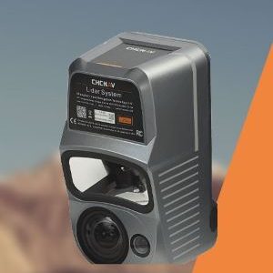
Enhanced Weather Resistance
Operate confidently in various weather conditions with the IP64 rating, ensuring consistent performance and data quality, even in challenging environments.