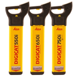
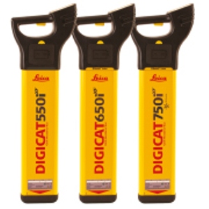
| The Leica Digicat i-Series locators provide operators with a simple solution for underground surveys. Designed with safety in mind, the Leica Digicat i-Series have a number of features which keep operators safe during the excavation process.The Leica Digicat 600 & 700 i-Series provide a unique onboard memory function, which stores information on how and when the locator has been used. This information can be downloaded to your PC, tablet or mobile phone via Bluetooth® connectivity using LOGiCAT software for further analysis.
The Digicat 700 i-Series goes one step further with integrated GPS technology users can now see where the locator has been used, further increasing site safety and traceability of locating activities. |
Leica Digicat i-Series
|
Features |
Digicat 500i | Digicat 550i | Digicat 600i | Digicat 650i | Digicat 700i | Digicat 750i |
| Frequency / Mode | Power mode 50 Hz or 60 Hz, Radio mode 15 kHz to 60 kHz, Transmitter mode 8 kHz and 33 kHz, Auto mode = Power + Radio mode | |||||
| Depth detection (typical) | Power to 3m, Radio to 2m, Transmitter mode dependant on signal transmitter or sonde | |||||
| Protection | Conforms to IP54 | |||||
| Batteries | 6 x AA alkaline (IEC LR6), supplied | |||||
| Battery life | 40 hours intermittent use (at 20°C) | |||||
| Weight | 2.7kg including batteries | |||||
| Depth estimation | Not available | 10% of depth in line or sonde (0.3 to 3m depth range) |
Not available | 10% of depth in line or sonde (0.3 to 3m depth range) |
Not available | 10% of depth in line or sonde (0.3 to 3m depth range) |
| Bluetooth® | Not available | Not available | Enabled | Enabled | Enabled | Enabled |
| Compatibility | Not available | Not available | CSV file compatibility program | |||
| Memory size | Not available | Not available | 32MB memory | 32MB memory | 64MB memory | 64MB memory |
| GIS mapping capability | X | X | X | X | ||
| Integrated GPS technology | X | X | ||||
| GPS type* | Chipset: u-blox®GPS, Technical Data; Type: L1 frequency, C/A code | |||||
| GPS accuracy** | Position 2.5 m CEP, SBAS 2.0 m CEP | |||||
| GPS start time | Cold 34s typical, Warm 34s typical, Hot 1s typical | |||||
* All data/information according to Manufacturer u-blox®GPS; Leica Geosystems does not assume any liability whatsoever for such information.
** Accuracy is dependent upon various factors including atmospheric conditions, multipath, obstructions, signal geometry and number of tracked satellites.


