The ONLY UAV with REAL multi-sensor capabilities: RGB, NIR, Thermal and dual sensors supported.
Why Choose the Aeromapper 300 over other UAVs?
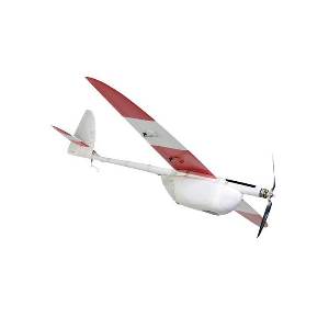
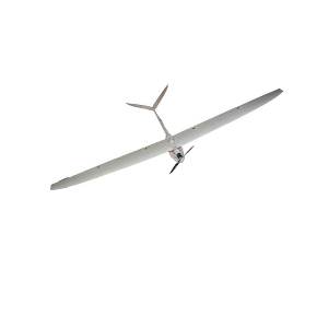
The Aeromapper 300 is probably the most complete UAV for survey & mappping applications at the most competitve price on the market. See for yourself. A powerful UAV yet very easy & friendly to use, with 1.5 hour endurance, currently more than two dozen different sensors or dual camera setups supported via hot-swappable mounts (more info here), easy parachute landing, hand launch, 20 km datalink range & +50 km control link, automatic terrain following, and of course fully automatic flight. The Aeromapper 300 is ideal for those very large areas that need to be surveyed or qhen you need to put two sensors “up there” at the same time, cutting acquisition times.
The sensor lenses are protected during landing via a ventral sliding door that closes automatically when the mission is finished.
Cameras are installed in panoramic orientation for most optimal area coverage with maximum side overlap.
The Aeromapper 300 also complies with all the design standards for Unmanned Aerial Vehicles for Transport Canada.
We can guarantee is the toughest, strongest and most durable UAV you will ever see. It is entirely made of carbon fiber, with tough kevlar reinforcements in key areas. It is a working horse that cantake a beating and still give you years of use.
SYSTEM INCLUDES:
- Aeromapper300 Unmanned System Ready to Fly
- One set of batteries for 1.5hrs of flight time. Additional batteries sets are available
- Ground Telemetry module (915 Mhz, +20 kms range)
- Handheld controller with long range system (+40 kms range). No need for piloting skills.
- Sony a5100, 24 mp camera (36Mp camera optionally available)
- Survey grade wide angle rectilinear lens, 15mm
- Lipo Battery Charger
- User’s Manual
- Heavy duty carrying cases
- Mission Planner GCS software
- Just add your laptop of choice
AREA COVERAGE CHART
| GSD (ground resolution) | Altitude AGL (meters) | Area coverage per flight |
|
2.21 cm/pixel |
85 m |
5.9 km2 |
|
3.25 cm/pixel |
125 m |
8.8 km2 |
|
6.50 cm/pixel |
250 m |
17.4 km2 |
|
10.4 cm/pixel |
400 m |
25.5 km2 |
|
15.6 cm/pixel |
600 m |
42.2 km2 |
– Area coverage per 90 min flight, including takeoff and recovery flight time. Larger areas can be covered in several flights in the same day.
– Calculated with 30% side overlap
– Calculated using the standard 24 Mp camera & lens provided
– For 3D terrain models side overlap must be minimum 60%, reducing estimated area coverage per flight