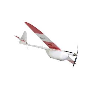
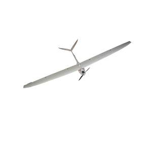
With the Aeromapper option EV2 you can create astonishing maps with its 24 Megapixel camera and survey grade lens, for resolutions up to 2 cm/pixel. Covers 6.8 sq.Km in a single flight at 3.2 cm/pixel, delivering Georeferenced imagery. Includes the best optics for UAV mapping: Voigtlander 15mm wide angle lens. Fully automatic flight with easy parachute landing recovery. Detailed User`s Manual is provided with step by step instructions for users with no experience. No traning necessary but optionally available.Every unit is flight tested and tuned to perfection before delivery. Camera is installed in panoramic orientation for most optimal area coverage with maximum side overlap.
Features 20 km data link and +50 Km control link.
AREA COVERAGE CHART
| GSD (ground resolution) | Altitude AGL (meters) | Area coverage per flight |
|
2.21 cm/pixel |
85 m |
4.7 km2 |
|
3.25 cm/pixel |
125 m |
6.8 km2 |
|
6.50 cm/pixel |
250 m |
12.7 km2 |
|
10.4 cm/pixel |
400 m |
20.6 km2 |
|
15.6 cm/pixel |
600 m |
31 km2 |
– Area coverage per 60min flight, including takeoff and recovery flight time. Larger areas can be covered in several flights in the same day.
– Calculated with 30% side overlap
– Calculated using the standard 24 Mp camera & lens provided
– For 3D terrain models side overlap must be minimum 60%, reducing estimated area coverage per flight
SYSTEM INCLUDES:
- Aeromapper EV2 Unmanned System Ready to Fly in carrying case
- Flight batteries for 60 mins of flight. Additional batteries can be purchased separately
- Ground Telemetry module (915 Mhz, +20 kms range)
- Handheld controller with long range system (+40 kms range) & accessories in carrying case. No need for piloting skills.
- Sony a5100, 24 mp camera
- Survey grade wide 15mm lens with adaptor
- Lipo Battery Charger
- Full User’s Manual with with detailed step by step instructions
- Mission Planner with instructions to create survey missions and use as Ground Control Station
- Just add your laptop of choice


