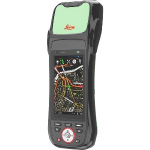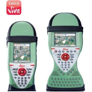
Leica Zeno 10 & Zeno 15 is designed for high-accuracy mapping in real-time and post-processing.
![]() The most rugged and versatile GNSS/GIS Handhelds in the market
The most rugged and versatile GNSS/GIS Handhelds in the market
High performance GNSS/GIS handhelds give you all the power you need. The perfect field tools for maintaining your GIS whether you are working for a utility company, local government, federal agency, or for anyone managing or mapping infrastructure or assets. Leica Zeno GIS series delivers the quality and reliability you can trust.
- IP67 and -30 to 60° C operation
- Combine GIS and Survey equipment
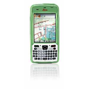
![]() High-Performance sub-meter GNSS/GIS Handhelds
High-Performance sub-meter GNSS/GIS Handhelds
Delivering consistent sub-meter accuracy both real-time and post-processed. Leica Zeno 10 and Leica Zeno 15 handhelds combine a high-performance sub-meter GNSS sensor with a rugged handheld for anyone who needs accurate and reliable data even in the most demanding environments. In addition, the Zeno 10/15 is suited for area measurement of parcels according to COMMISION REGULATION (EC) No 1122/2009, of 30 November 2009.
- DGPS <0.4 m
- SBAS <1.2 m
- Post-processed sub-meter – decimeter
![]() Packed with power for outstanding performance
Packed with power for outstanding performance
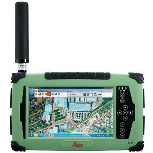
The optional docking station ensures quick, direct and easy access to the data you have measured in the field. Just plug in and field data is downloaded, post-processed and updated in Zeno Office, with just one simple click. Together with full support of all survey equipment, data maintenance has never been so easy.
- Convenient wireless or wired data download & upload
- Optional fully integrated wireless technology (GSM/UMTS 3.5G and WLAN)
- Extend storage with SDHC cards