First released as a separate module in 2014, Carlson CADnet allows users to create CAD from non-CAD documents such as PDFs, raster images, and paper plans. CAD text can also be generated from raster images with CADnet’s built-in Optical Character Recognition (OCR).
CADnet gives users the ability to import BIM models (doors, windows, walls, roofs, etc.) and bring them into CAD as CAD entities; plus, CADnet includes a routine to export surfaces into BIM.
Carlson CADnet supports AutoCAD® and comes with IntelliCAD® built-in. This is in addition to working on legacy AutoCAD versions.
Developed for more than 10 years within Takeoff, Carlson’s popular site estimating and data prep software,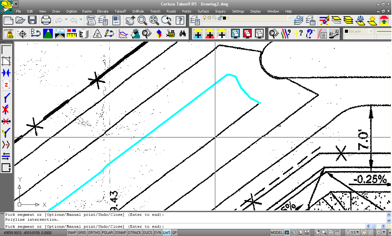 Carlson CADnet joins with Carlson GeoTech and Carlson Trench to provide customers the flexibility to obtain just the software they need at an affordable price. The three new modules can also be paired with Carlson Construction to form the all new Carlson Takeoff Suite, replacing the non-OEM version of Takeoff. (Note: the Carlson Takeoff R-series with built-in AutoCAD remains the same.)
“These modules serve to answer the specific needs of geotechnicians, civil engineers, and construction professionals who may not have required all of Takeoff’s many capabilities,” says Todd Carlson, product manager for Takeoff.
Features :
Key Capabilities
- Import PDF Files
- Import BIM using IFC Files
- Export Carlson surface to BIM using IFC Files
- Convert Raster images to vector CAD entities
- Modify Raster images using cut, copy, remove speckles and thicken commands
- Create CAD entities from the raster image using Trace functions and raster snaps
- Create text entities extracted from the raster images
- Digitize from paper plans or on-screen images
- Full set of digitize routines for points, polylines, areas, contours, profiles, sections and end-areas
General
-
Built on AutoCAD and IntelliCAD
Carlson Survey will run in AutoCAD® as well as AutoCAD® Map, Land Desktop and Civil3D and also on IntelliCAD.
-
Project Setup
Flexible data storage methods
-
Drawing Cleanup
Fix common drafting errors
-
Drafting Enchancements
Handy tools for working in AutoCAD® such as Join Nearest, Shrinkwrap Entities, Polyline Utilities, Drawing Inspector, Layer Inspector and Twist Screen
-
Data Compatibility
Supports industry standard LandXML and scores of specific data conversions
Points
-
Import/Export
User-defined import and export of point data along with conversions with specific other formats
-
Draw Points
Draw points with settings for symbols, layers and styles
-
Point Groups
Point group manager to define sets of point by filters
-
Coordinate File History
Tracks all changes to points with report and undo functions
-
Fix Point Label Overlaps
Finds point label overlaps with rule options to fix automatically
-
Point Tools
Utilities for modify point labels such as move with leader, twist and resize